World War 2 and The Cold War Maps Clip Art
SKU:
£4.99
£4.99
per item
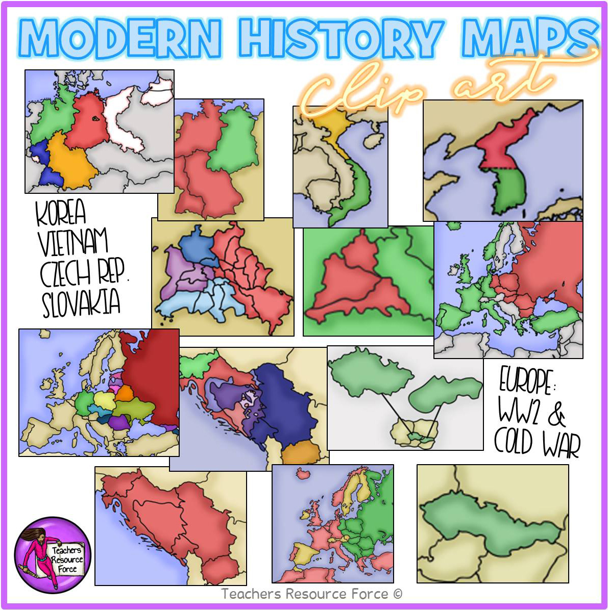
Get hold of this quality set of modern History maps for the late 20th Century including WW2 and The Cold War.
Product includes:
• Europe after World War II that is colored to show the countries that were Soviet satellites.
• Germany 1948-49
• Berlin 1948-49
• North & South Korea
• North & South Vietnam
• Yugoslavia as a nation
• Yugoslavia as separate countries#
• Czechoslovakia
• Czech Republic & Slovakia
• Blown up view of Berlin to show the occupational zones within the city.
• Map of Europe after the collapse of Soviet Union showing the new countries.
• Europe map that focuses on Germany and shows the 4 occupational zones.
• A world map that shows NATO and Warsaw Pact member countries.
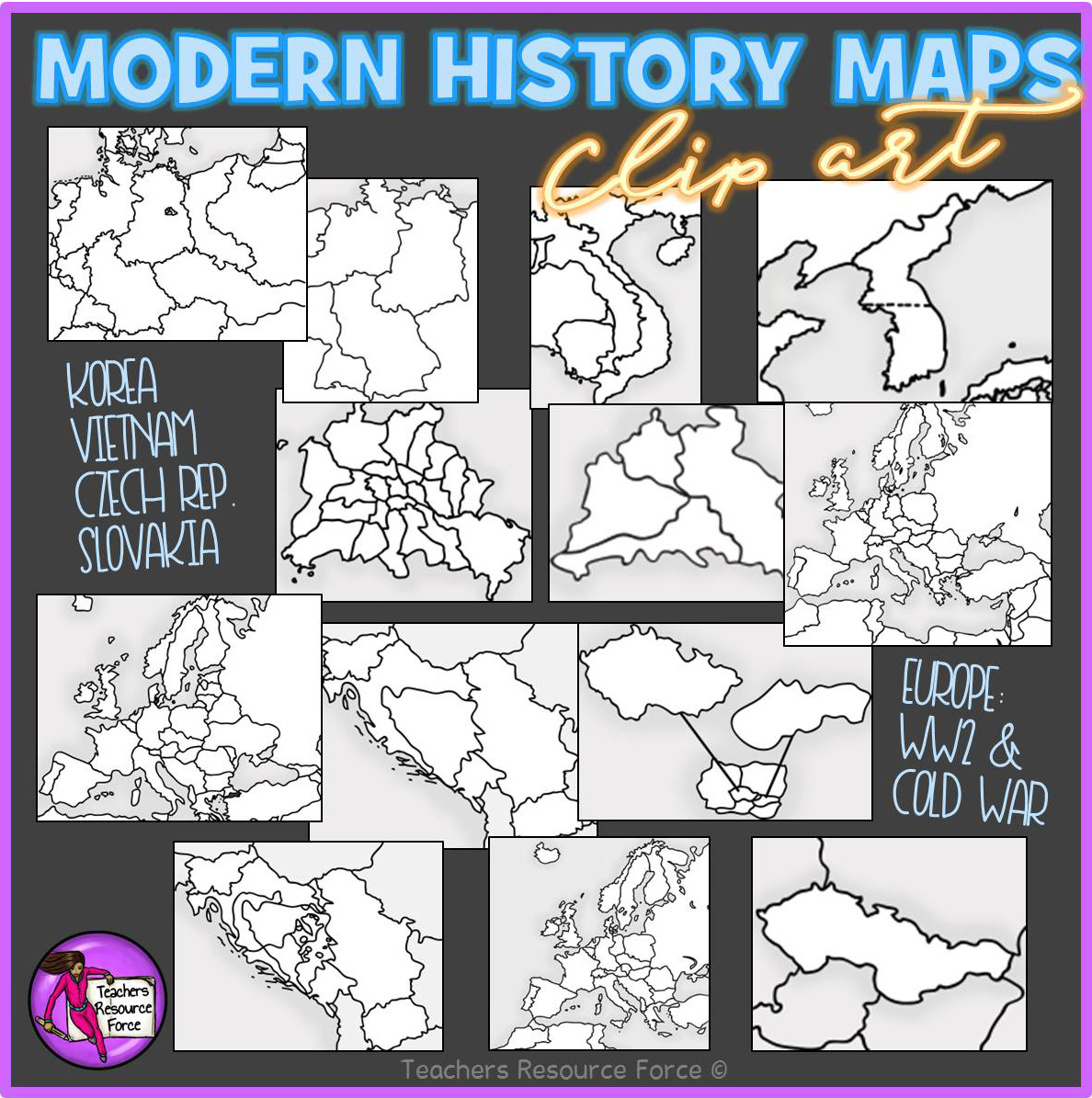
Each image is 300dpi png with transparent edges and closely cropped and each map comes in colour as well as white and grey scale. Use in your own teaching resources and display boards!
Product includes:
• Europe after World War II that is colored to show the countries that were Soviet satellites.
• Germany 1948-49
• Berlin 1948-49
• North & South Korea
• North & South Vietnam
• Yugoslavia as a nation
• Yugoslavia as separate countries#
• Czechoslovakia
• Czech Republic & Slovakia
• Blown up view of Berlin to show the occupational zones within the city.
• Map of Europe after the collapse of Soviet Union showing the new countries.
• Europe map that focuses on Germany and shows the 4 occupational zones.
• A world map that shows NATO and Warsaw Pact member countries.
Each image is 300dpi png with transparent edges and closely cropped and each map comes in colour as well as white and grey scale. Use in your own teaching resources and display boards!